News
News list
-

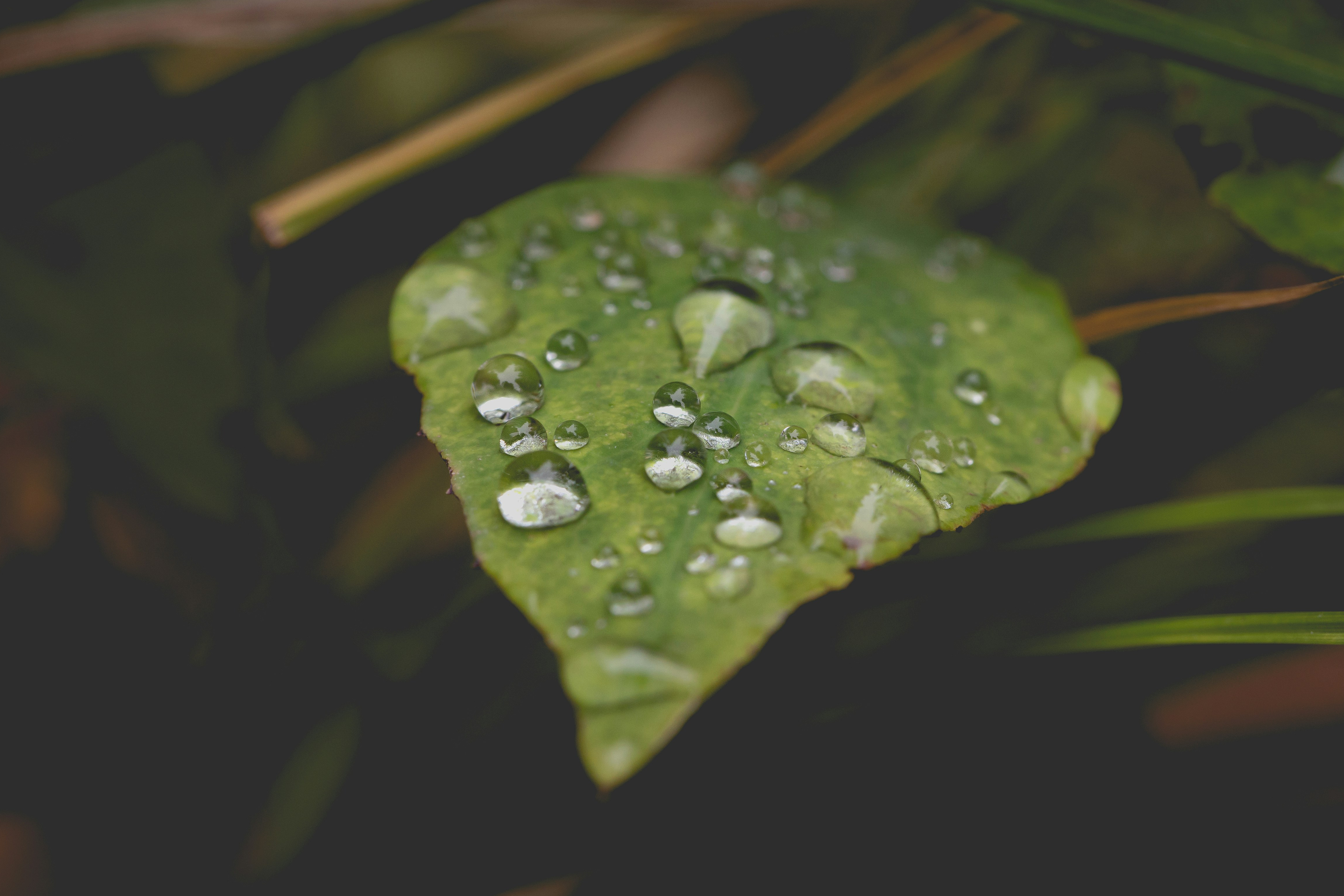
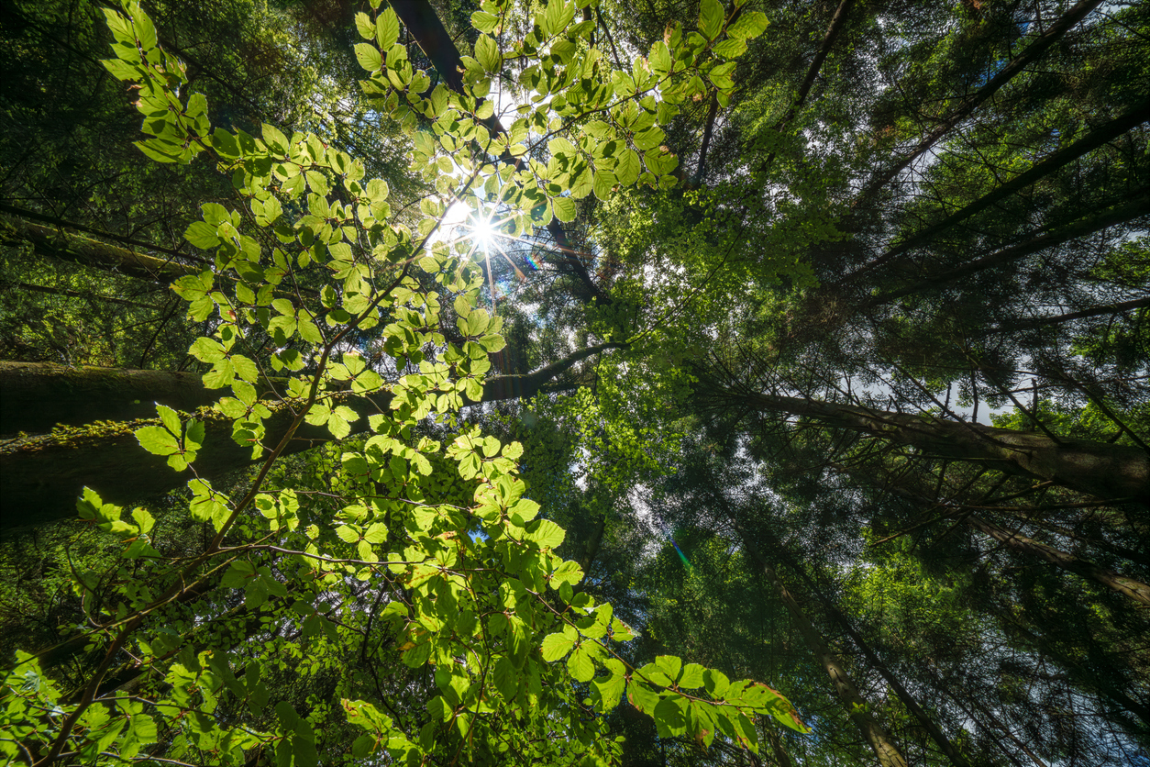
New Paper: Monitoring Tree Phenology with Satelllites
Can satellites help to monitor how climate change is shifting the rhythm of trees?
-
New Paper: GNSS Signal Loss and Vegetation Health
When GNSS signals get lost in trees - and we learn about vegetation health as a result.
-
-
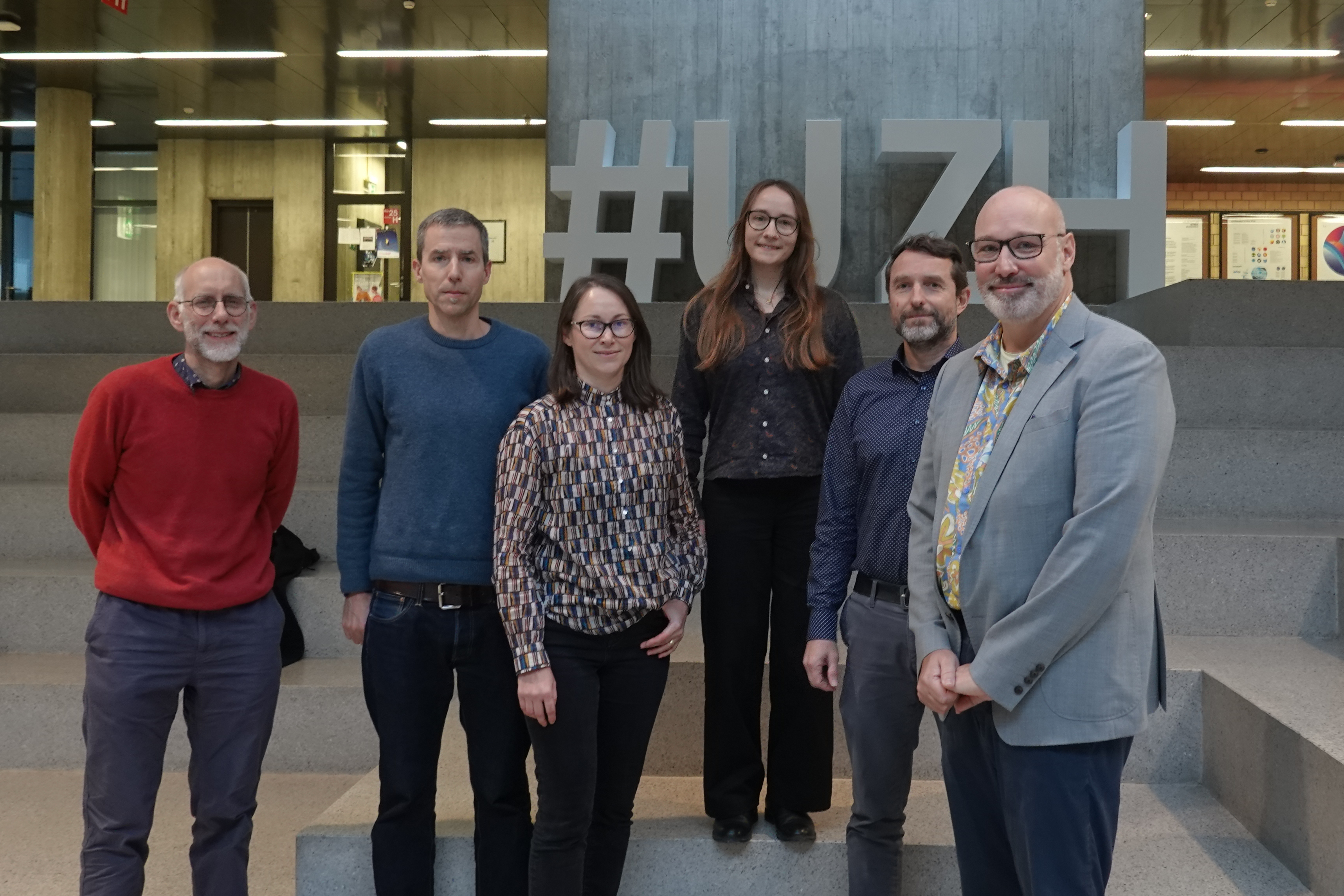
PhD Defense Aline Bornand
Congratulations on your successful PhD defense, Aline Bornand!
-
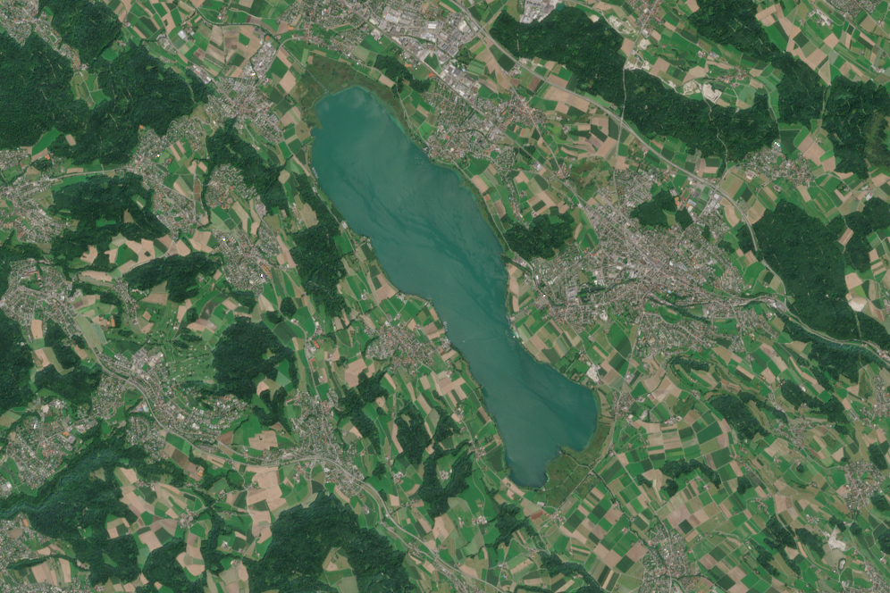
New Paper: How to Track Phytoplankton Species in Lakes
Identifying specific phytoplankton species in lakes on a larger scale remains a challenge. Loé Maire developed a new method to change that.
-
-
New Paper: Challenges in Estimating Functional Diversity from Airborne Data
Switzerland’s biodiversity is under pressure. New research shows how airborne remote sensing can help to monitor functional diversity.
-
.jpg)
New Paper: Anisotropy Impacts Forest Surface Temperature Measurements
Jennifer Susan Adams has investigated how the viewing angles of satellite sensors influence surface temperature measurements over forests.
-

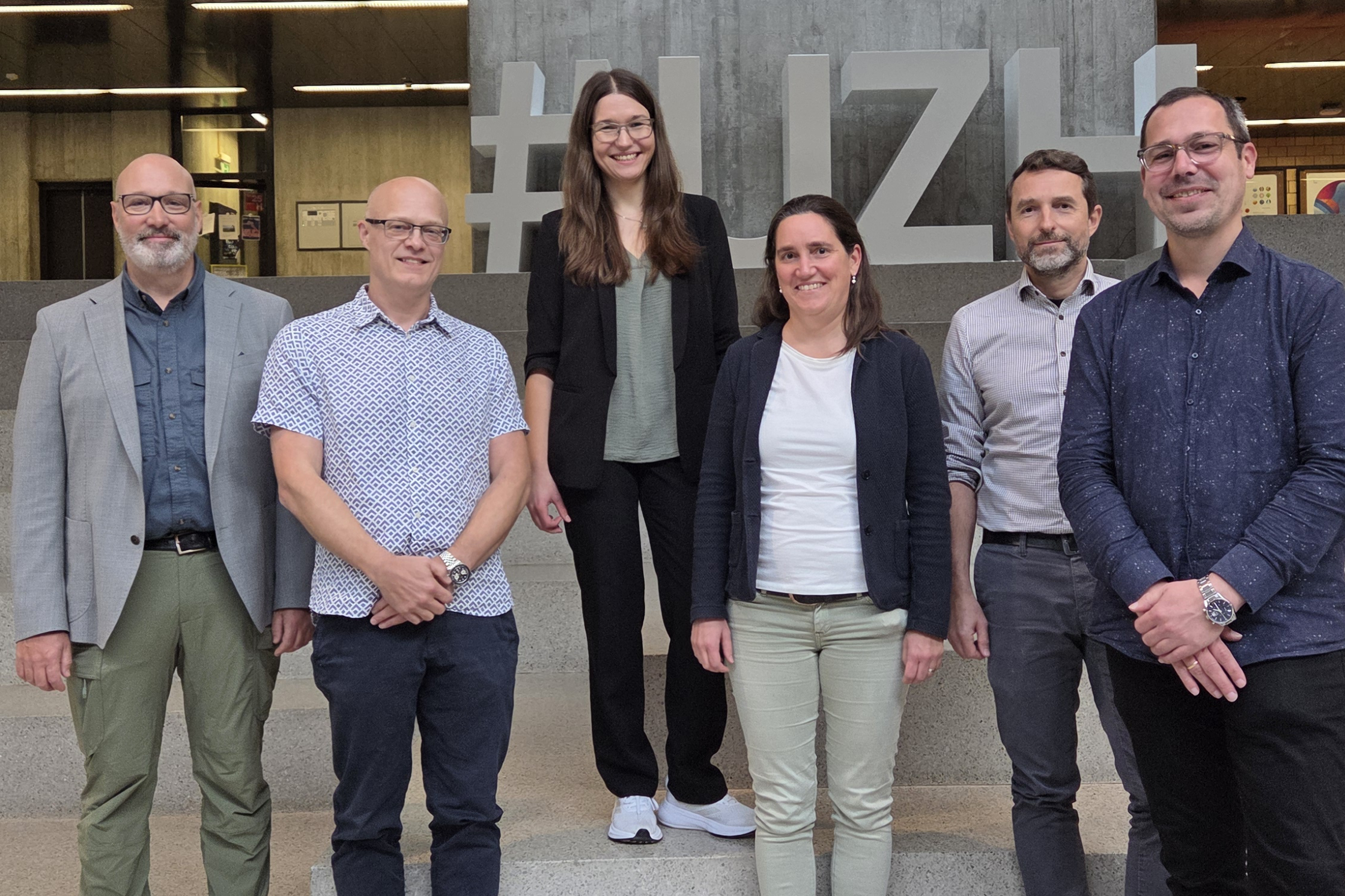
PhD Defense Peter Brotzer
Congratulations to our team member Peter Brotzer on the successful defense of his PhD thesis!
-

PhD Defense Jasmin Kesselring
Our team member Jasmin Kesselring successfully defended her PhD thesis!
-

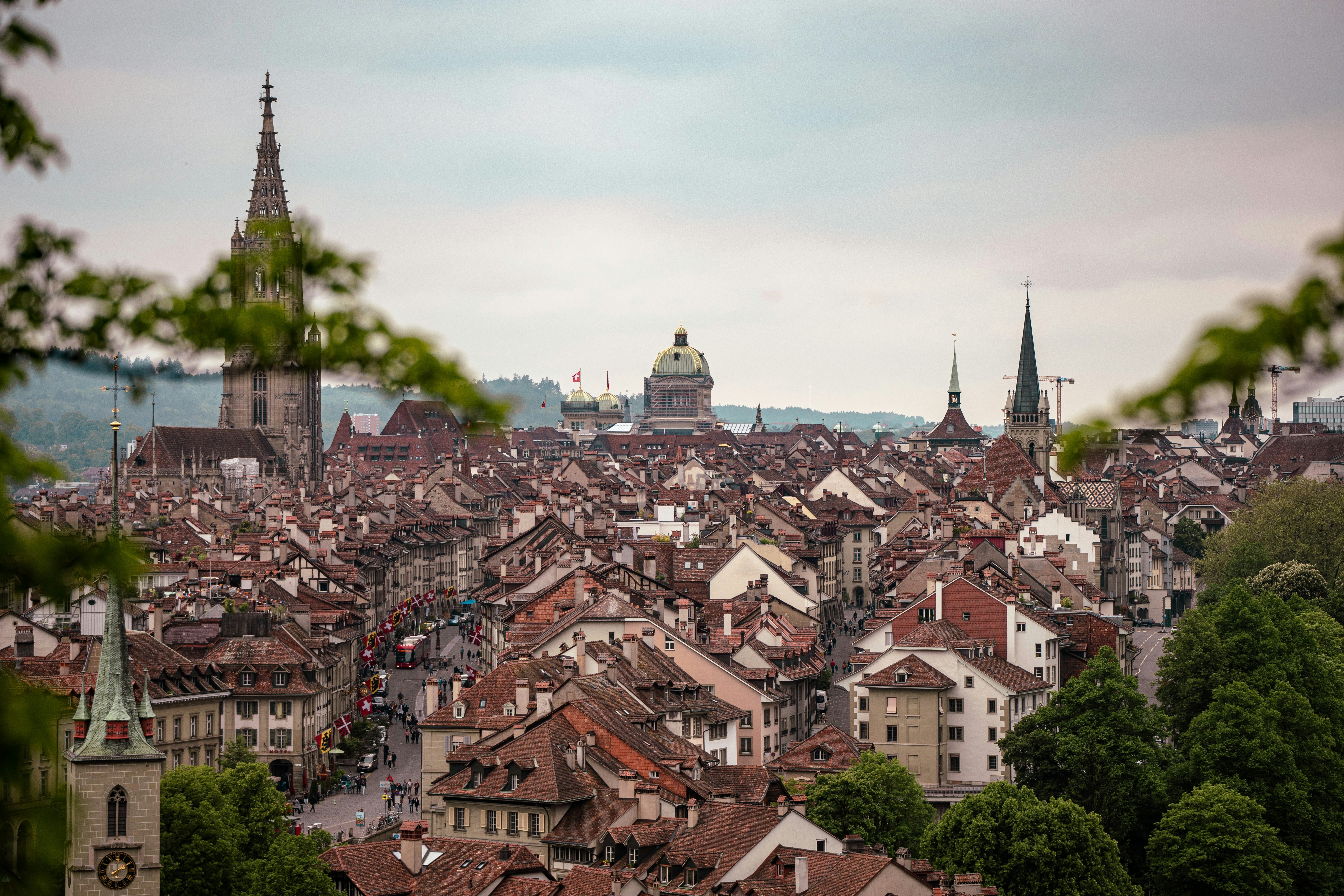
New Paper: Mapping Urban Areas in Three Dimensions
A new study shows how combining different remote sensing technologies can help provide accurate 3D maps of urban areas.
-
New Paper: Using SAR Drones for 3D Mapping of Urban Infrastructure
How can drones with high-frequency radar systems improve the efficiency of 3D mapping of complex structures?
-
Welcome Pauline!
Dr. Pauline Enguehard has joined RSWS as a postdoctoral researcher.
-
New Paper: How to Reveal Corporate Environmental Impacts
A new framework for strategically using satellite remote sensing to improve the disclosure of corporate impacts on biodiversity and water systems.
-
New Paper: Fluorescence-Based Monitoring of Phytoplankton
How untangling quenching mechanisms can improve the monitoring of phytoplankton populations in lakes.