New Paper: GNSS Signal Loss and Vegetation Health
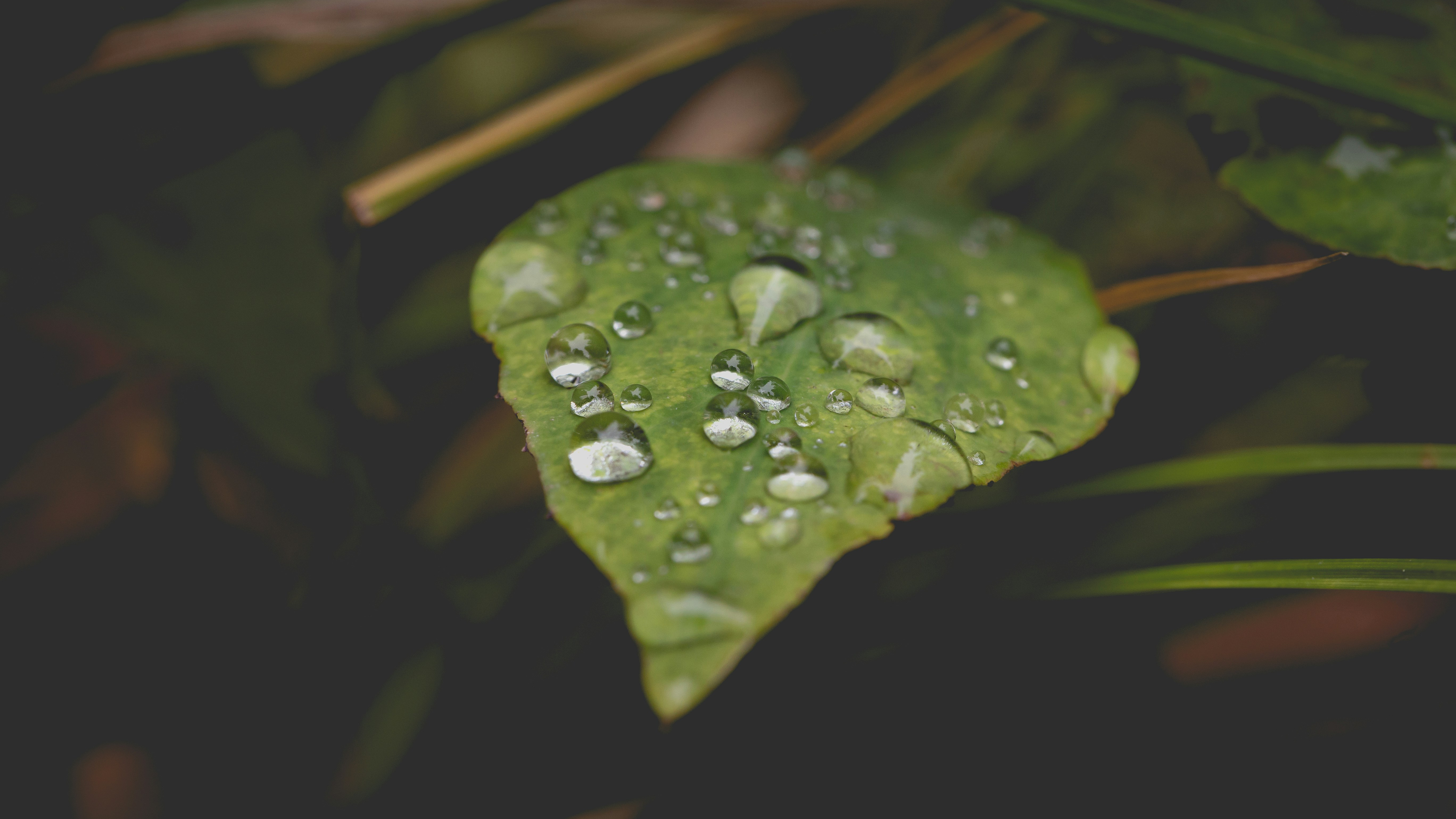
When you walk through a dense forest and look up, the thick layer of leaves can block your view of the sky. But it also blocks something else: the satellites' view of what is happening inside the forest. When GNSS signals transmitted by a satellite pass through a canopy, the signal becomes weaker. It sounds counterintuitive at first, but this exact weakening of the signal provides valuable information for studying forest health. By measuring how much a signal weakens as it passes through the canopy, scientists can estimate the amount of water stored in trees. In a recently published study, Jasmin Kesselring and her colleagues demonstrate how this approach can complement existing satellite-based methods for estimating canopy water content and what added value it brings to forest monitoring.
Why is it important to estimate forest canopy water content?
Climate change is causing droughts in Europe to occur more frequently and last longer. Prolonged periods of drought pose a serious threat to forest ecosystems. “One of the most important factors for tree health is how much water a tree has available”, explains Kesselring. If the water supply is insufficient and trees are weakened as a result, they become vulnerable to pests like bark beetles. In severe cases, treetops can die back, and entire trees succumb.
Optical satellite data can not capture the whole picture
Scientists are therefore working to monitor the canopy water content and predict critical changes before they occur. To observe large areas, they rely on satellite data that can detect drought stress through optical changes in the canopy. Researchers track these changes using a metric called the normalized difference water index (NDWI). It is calculated from specific wavelengths of reflected and absorbed light that are sensitive to water content in vegetation.
However, this approach has limitations. The measurements capture information only from the topmost leaves. "Even when water content in the lower canopy layers drops significantly, the satellite measurement may not register the change," says Kesselring. "Satellites often miss these early warning signs and typically only respond once significant damage has occurred - when the upper leaves are already drying out."
Turning GNSS signal loss into valuable information
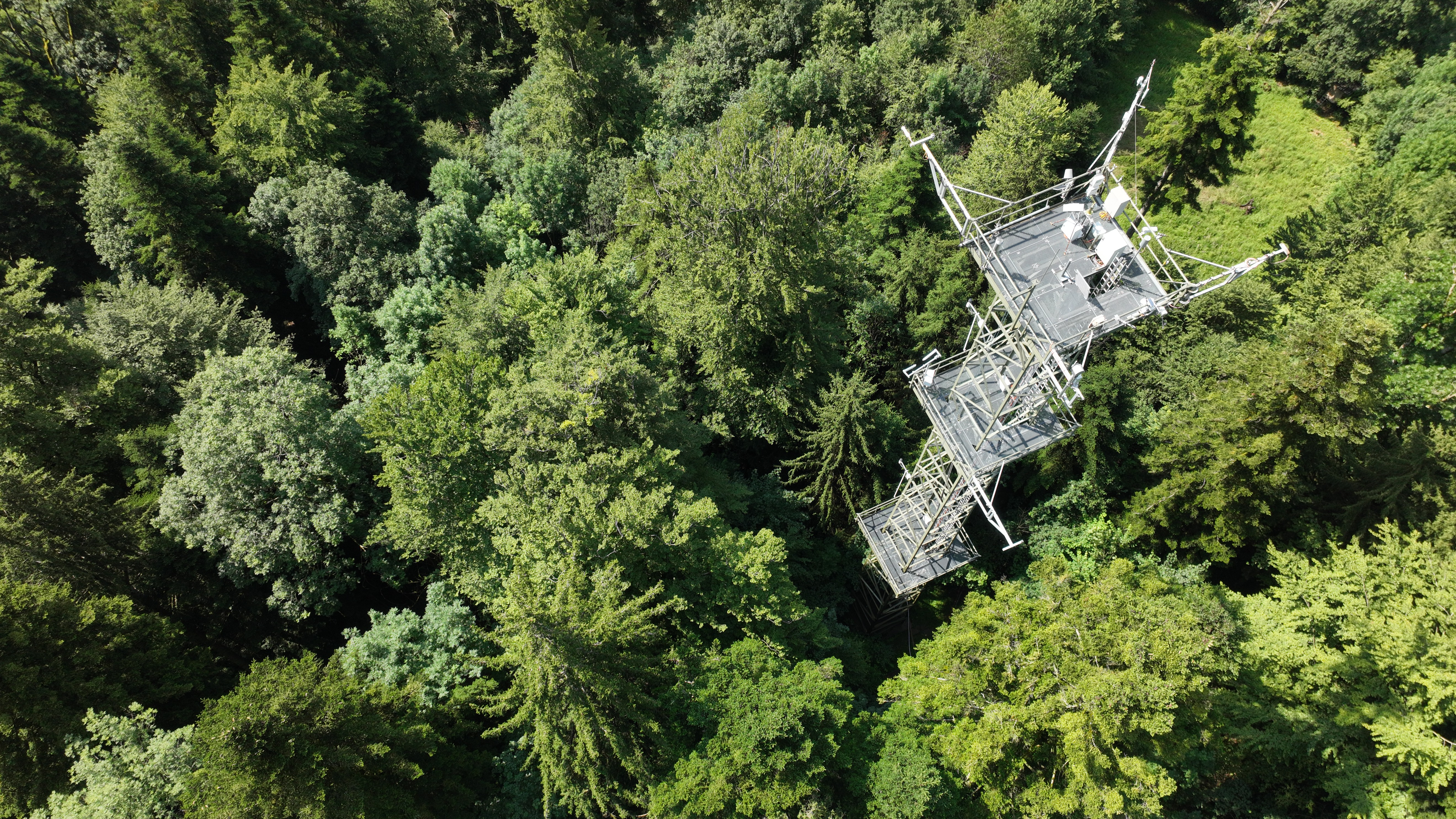
To close this data gap, Kesselring and her colleagues tested an alternative method. They installed receivers on two measurement towers in Davos and Lägeren (Switzerland). These receivers capture signals from global navigation satellite systems (GNSS) - the same technology used for GPS navigation.
Unlike optical measurements, GNSS signals operate in the microwave frequency range and can penetrate much or all of the canopy. Ground-based GNSS sensors receive these signals after they have passed through the forest. As the signals travel from satellites through the vegetation to the receivers, they are weakened by leaves and the water they contain. From the amount of signal loss, researchers calculate what is called vegetation optical depth (VOD)."The denser and wetter the vegetation, the more signal is absorbed," Kesselring explains. "By measuring this, we can infer the water content of the entire canopy, not just its surface."
Implications for forest monitoring
To understand how these VOD estimates could help improve the monitoring of water content in forests, the researchers compared a series of NDWI and VOD estimates over a period of 3.5 years. By comparing how these measurements changed over time, they could see how early and how reliably each method detected changes in water content.
The differences between the two approaches became particularly apparent during the severe drought period in summer 2022. For several weeks, high temperatures and low precipitation created conditions of considerable water stress, especially for the deciduous forest at Lägeren.
The satellite-based NDWI reacted little to this drought. Throughout the summer months, NDWI remained nearly constant at a relatively high level. From the satellite's perspective, the forest still appeared healthy. In contrast, the GNSS-based VOD, was able to capture the decline in water content: “With VOD we could make the invisible become visible", says Kesselring.
This study is a proof-of-concept, intended to show whether GNSS-based VOD measurements are suitable for monitoring forest health. Jasmin Kesselring sees potential in the method for improving the data basis for forest monitoring.
"This study provides the foundation to expand the method and collect more data at different sites and with more tree species. In the future, models could be developed that allow us to detect and predict drought stress across large areas."
Jasmin Kesselring
Postdoc, Remote Sensing Spectroscopy