Rethinking Change: Putting Indigenous Worldviews at the Heart of Human-Nature Relations
As the world faces a deepening ‘polycrisis’ – from biodiversity loss and climate change to social inequity and political instability – transformative change is urgently needed. With our SNSF Spark …
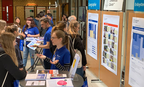
Nationales Geographisches Berufspodium 2026: Inspiration und Netzwerken
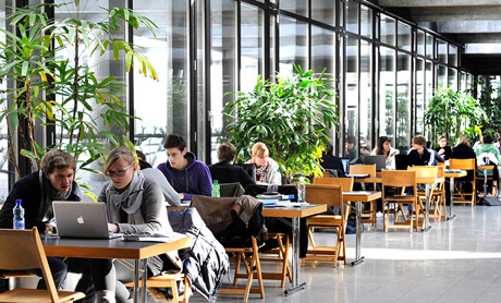
Am Donnerstag, dem 7. Mai 2026, fand an der Universität Zürich das Berufspodium für Geographie und Erdsystemwissenschaften statt. Organisiert vom Geoteam bot es rund 200 Studierenden der …
The high proportion of sealed surfaces in cities leads to significant heating of urban areas, reduces rainwater infiltration, and increases the risk of flooding. One approach to deal with these …
Nachhaltigkeit im Labor: Gold-Zertifizierung für die GeoLabs
Die Universität Zürich hat im Rahmen ihrer Decarb 2030-Initiative Labore und Arbeitsgruppen systematisch zu ihrer Nachhaltigkeitspraxis befragt. Unsere GeoLabs, die gemeinsamen Labordienste mehrerer …
Trockenheit in der Schweiz: Wie die CrowdWater-App Datenlücken schliesst
Die aktuelle Trockenheit trifft vor allem kleine Bäche – doch sie werden kaum überwacht. Das Citizen-Science-Projekt CrowdWater setzt hier an: Mit der App kann jede:r Daten sammeln und so die …
Wie viel verraten digitale Daten über unsere Städte?
Wir haben mehr Daten über unsere Städte als je zuvor. Das kann dazu verführen, vor allem die Fragen zu beantworten, für welche Daten verfügbar sind. Wir sollten aber die drängenden Probleme darüber …
Das Walliser Bergdorf Blatten ringt ein Jahr nach dem verheerenden Bergsturz um seine Zukunft. Wie umgehen mit Berggebieten, die zunehmend vom Klimawandel bedroht sind? Christian Huggel nimmt in …
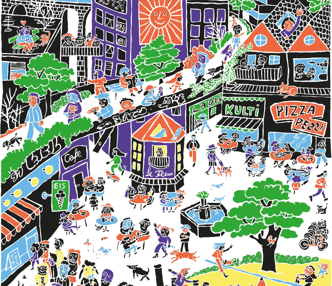
einfach komplex – vom konkreten Nutzen der Bio*Diversität
Ein Teil des Kirchner Parks in Davos wird vom 13. bis 22. Juni 2026 zum Skulpturenpark. 12 Figuren präsentieren wissenschaftliche Erkenntnisse zum Thema Biodiversität. Die Ausstellung macht die …
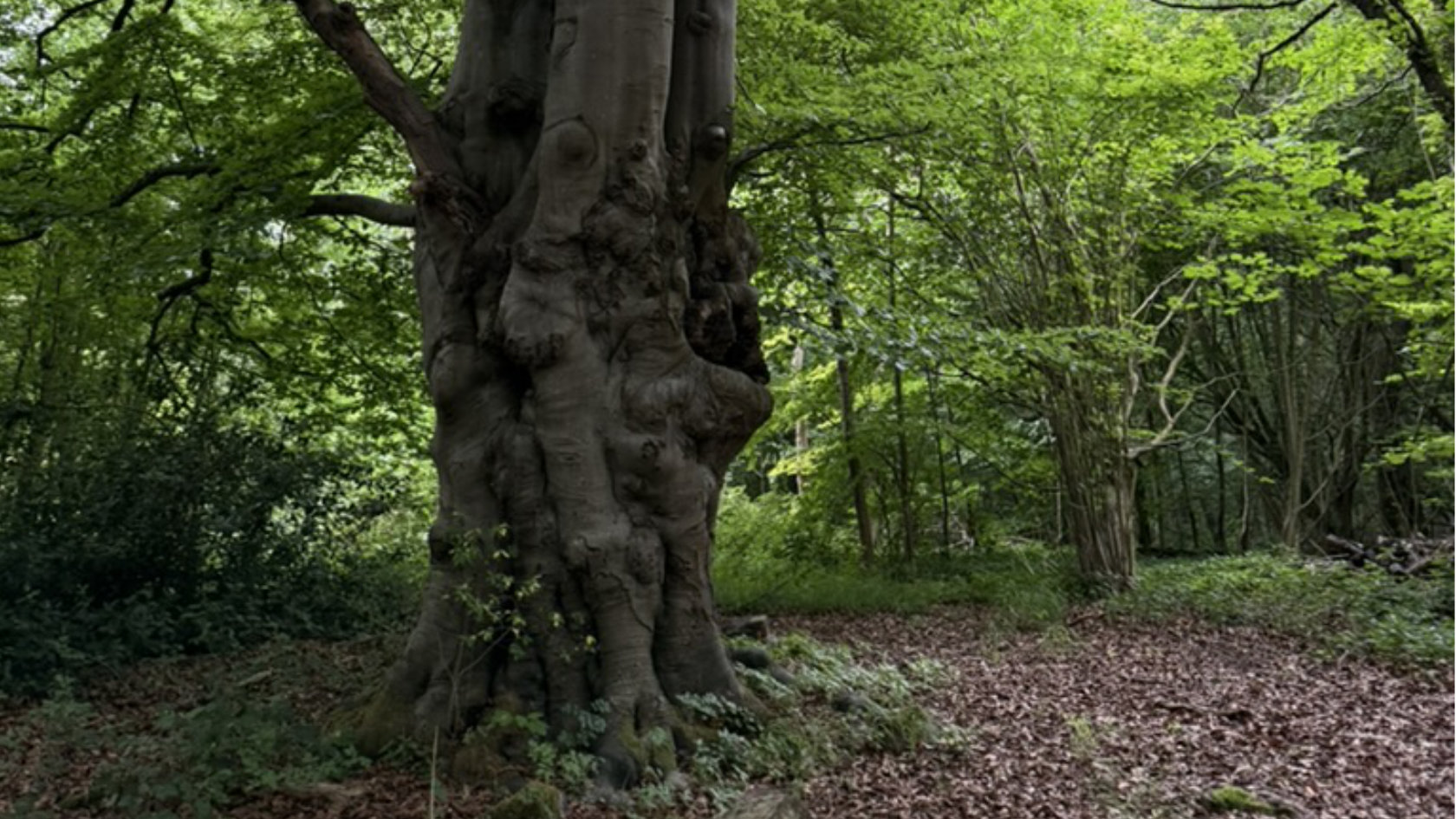
ESA-Mission zur Biodiversität unterhalb des Blätterdachs
Die HiBiDiS-Mission soll neue Erkenntnisse über die Biodiversität im Unterholz von Wäldern liefern und damit wichtige Fragen zur Zusammensetzung der Artenvielfalt, zum Zustand der Ökosysteme, zum …
Tracking the slopes: A model to estimate backcountry skiing activity
Many of us enjoy going backcountry skiing and lots of us plan and even share our trips online. But did you know that the digital traces that you leave online could help make backcountry touring safer?
Die Sozialgeografin Hanna Hilbrandt analysiert im Interview mit der WOZ die SVP-Initiative zur Bevölkerungsbegrenzung als Ablenkung von den echten Problemen des Wohnungsmarkts. Sie diskutiert die …
Green tramlines: biodiversity or spreading invasive species?
Zürich’s green tram tracks may seem like a simple aesthetic upgrade, but they could be doing far more than just making the city look greener. Students from the GEO410 «Geography.Matters.» course …
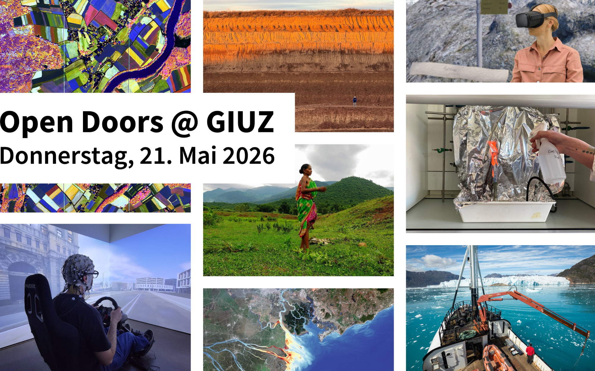
Das Geographische Institut öffnet am Donnerstag, 21. Mai 2026 die Türen und gibt spannende Einblicke in seine Forschung und Lehre. Eine tolle Gelegenheit zum Vernetzen und Austauschen – mit den …
Transformative knowledge for transformative change
What makes change ‘transformative’? How useful is the term ‘polycrisis’ for the global challenges we face today? How do we narrow the gap between knowledge about global sustainability challenges and …
Despite strong political pushback, the number of people searching for protection in Europe is not decreasing. Urban spaces, especially, are the destination of many seeking a new home. Yet, arriving …
Wo steht die Schweiz im Umgang mit dem Klimawandel? Der neueste Bericht der Akademien der Naturwissenschaften Schweiz (SCNAT) liefert eine Antwort auf diese Frage. Ausserdem ordnet er künftige …
Tausende Menschen in der Schweiz arbeiten unfreiwillig Teilzeit – oft, weil ihnen grössere Pensen verwehrt bleiben. Für die Betroffenen bedeutet dies nicht nur finanzielle Unsicherheit, sondern auch …
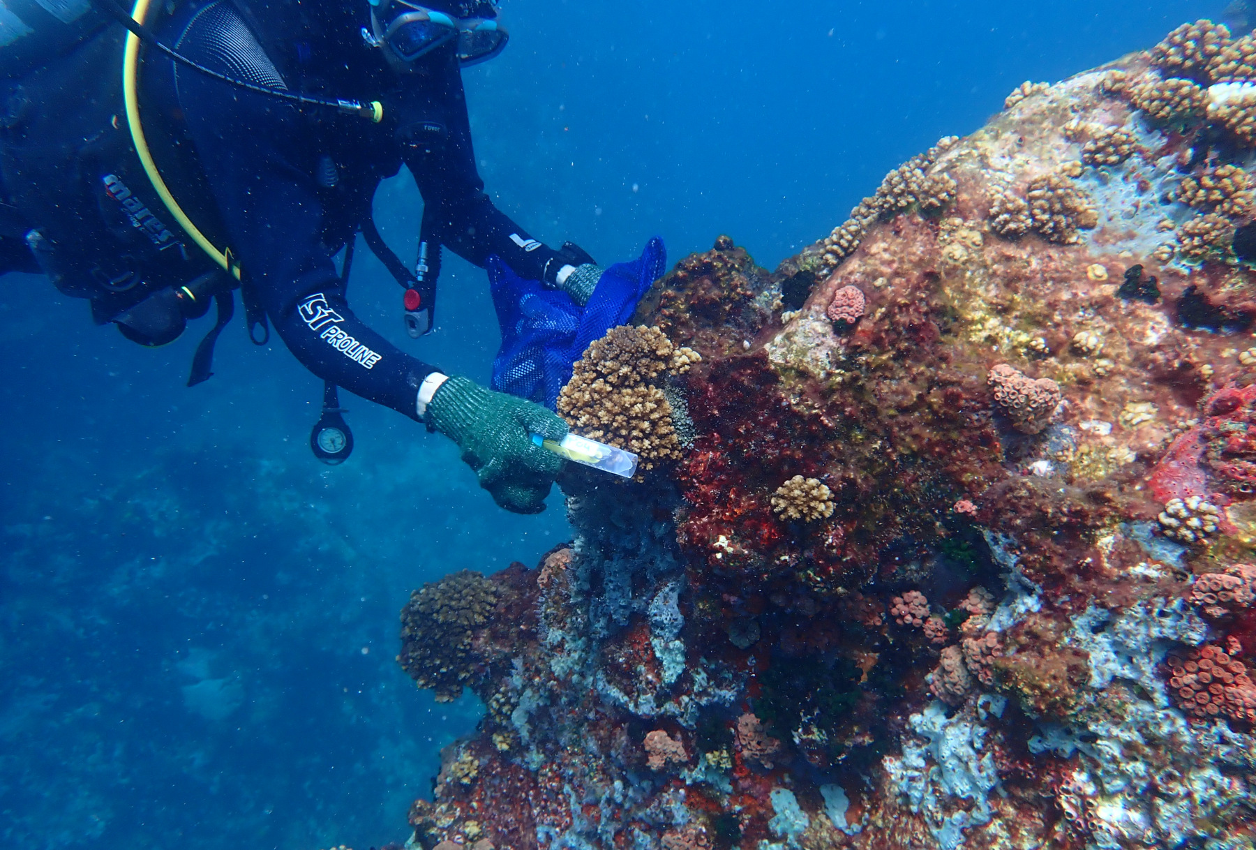
Korallenriffe im Indischen Ozean: Wie Satellitendaten und Genomik den Schutz unterstützen
Tropische Korallenriffe sind Hotspots der Biodiversität, doch regelmässig auftretende starke Hitzewellen bedrohen sie massiv. Eine aktuelle Studie kombinierte Satellitenbeobachtungen der …
Klimawandel trifft Landschaft: Handlungswissen aus Praxis und Forschung
Ob Trockenperioden, Starkniederschläge oder der Rückzug der Gletscher – der Klimawandel verändert die Landschaften in der Schweiz. Zugleich schützen uns Landschaften vor den Auswirkungen des …