TIRLab - Thermal Infrared Remote Sensing
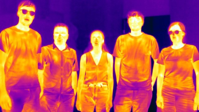
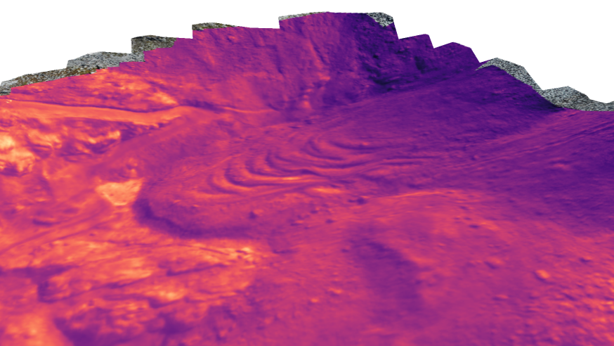
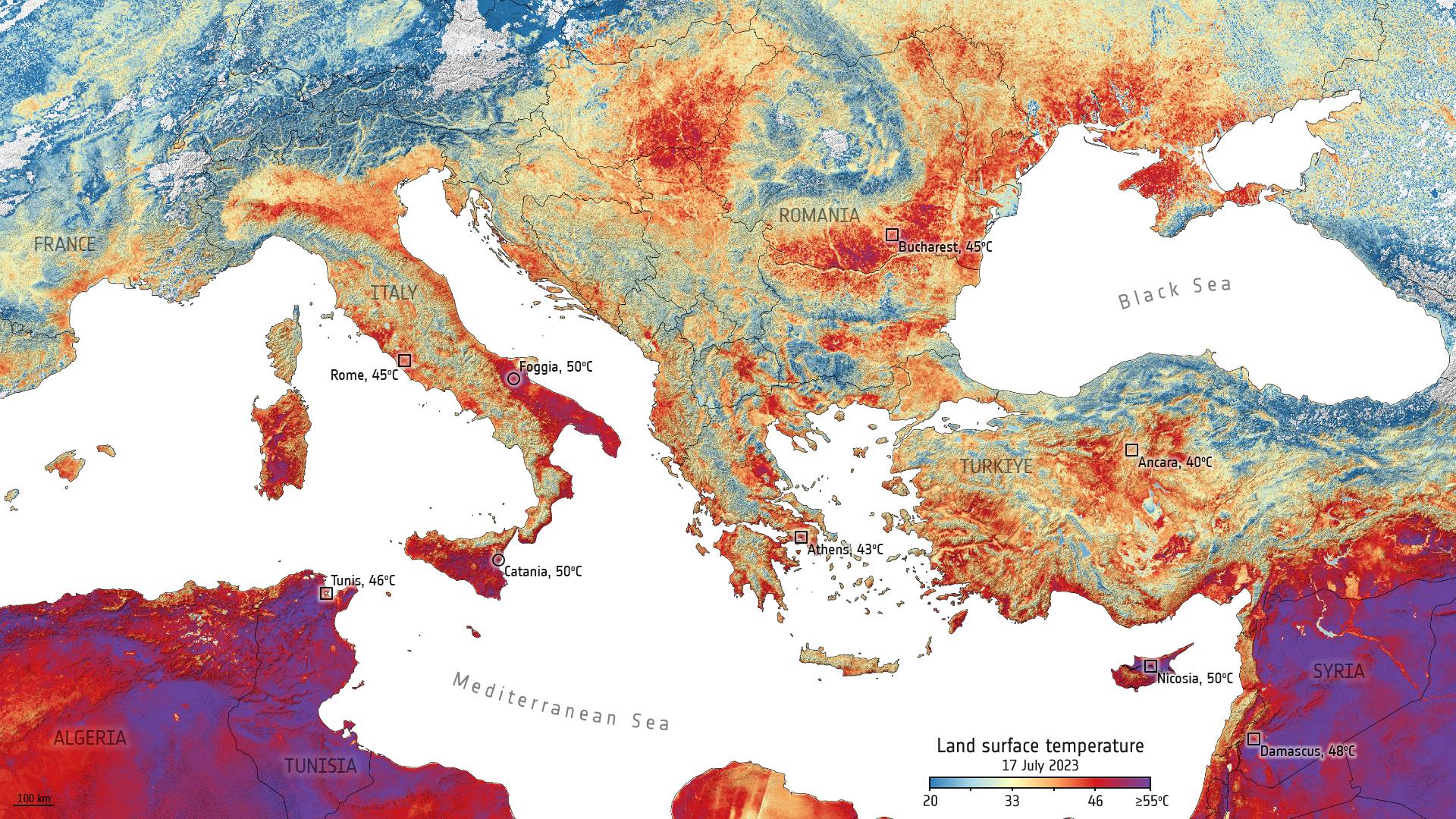
The TIRLab of the Department of Geography at the University of Zurich is engaged in research and teaching in the field of thermal infrared (TIR) remote sensing. Our research is tailored to different spheres and scales, and is based on a diverse approach of experimental, field, and modelling studies using a wide range of tools and datasets. Our teaching ranges from the physical fundamentals to applications of pressing environmental and societal issues arising from global atmospheric change. In addition to lectures, we promote understanding of TIR data through hands-on exercises and student projects, and are open to theses that exploit the potential of TIR remote sensing across scales and spheres.