New Publication
How Sense of Direction, Spatial Anxiety, and Urban Form Shape Interaction with GPS-enabled Map Applications
ACM Journal
Donatella Zingaro, Tumasch Reichenbacher, Sara I. Fabrikant
Abstract
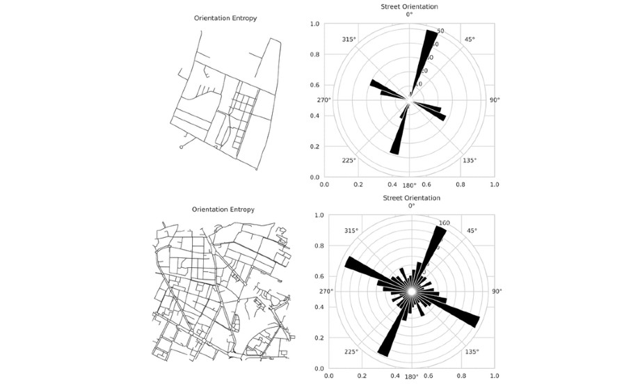
How do urban morphology, and individual traits shape real-world navigation behavior? To address this question, we analyzed data from everyday interactions with GPS-embedded mobile map applications, combining touchscreen based interaction data (i.e., taps) with graph-based street network metrics and self-reported measures of spatial anxiety (SA), sense of direction (SBSOD), and gender. We extracted interaction frequency (tap rate) and interaction regularity (inter-tap interval variability, CV–ITI) from smartphone map interaction patterns. Our analysis revealed that spatial anxiety consistently reduces both frequency and regularity of user engagement with these applications. Urban form also influences interaction; higher orientation entropy and greater degree centrality predict lower tap rates, while higher closeness centrality is associated with more regular interactions. This aligns with the literature on cognitive offloading suggesting passive navigation where users may simply follow the application’s instructions without active interaction. Moreover, urban form’s influence on interaction behavior varies with individual differences. Users with high spatial anxiety show more irregular interactions when navigating complex, winding layouts. In contrast, those with a good sense of direction benefit more from well-connected street networks, showing more regular patterns. Our findings highlight the value of integrating, urban networks, and individual traits to model real-world mobile map application use. By introducing a minimally invasive method for capturing map use in context, we provide critical insights for the design of adaptive navigation interfaces that facilitate more supportive and cognitively sustainable navigation experiences.